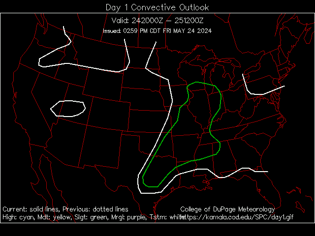
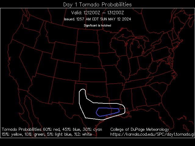
We are watching a potentially dangerous situation for later today over southern Iowa and northern Missouri later today. The Stprm Prediction Center has that area in a 10% hatched tornado threat, meaning that storms later today have the potential of producing strong, large tornadoes along with very large hail and damaging winds, and with the latest update had seriously considered upgrading the area to a Moderate Risk of severe storms. It looks like it would be a perfect day for VORTEX 2 if they were already going for the year.
Follow me on Twitter @
weathrlver


No comments:
Post a Comment